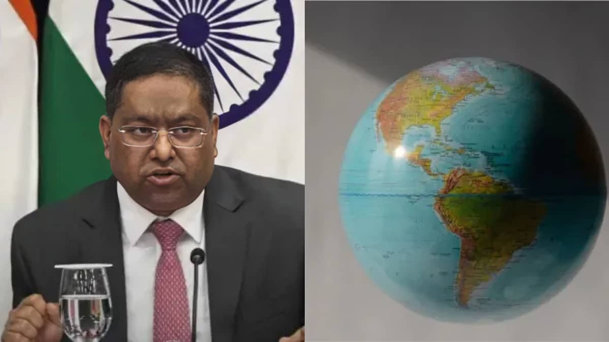
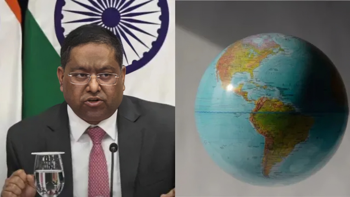
India has firmly stated that any world map prepared in connection with a recent United Nations General Assembly resolution must accurately represent the country's sovereign territory, including the Union Territories of Jammu and Kashmir and Ladakh. The clarification was issued by the Ministry of External Affairs after India voted in favour of a UN resolution encouraging the use and consideration of equal area cartographic projections.
MEA spokesperson Randhir Jaiswal said India's position on sovereignty and territorial integrity remains clear, consistent and non negotiable. The statement came amid discussions over the proposed adoption of a more geographically representative world map at the international level.
The United Nations General Assembly recently adopted a resolution supporting efforts to promote more accurate and representative cartographic practices. The initiative is particularly focused on addressing distortions in the relative size of landmasses that can result from certain commonly used map projections.
The resolution promotes the broader use and consideration of equal area map projections. Such projections are designed to preserve the relative areas of geographical regions, helping provide a more accurate visual understanding of the size of continents and landmasses.
India supported the resolution but made its position on the scope of the initiative clear. During the General Assembly discussion, India's representative said the vote should be understood as support for the broader principle of equal area cartographic approaches rather than an endorsement of the Equal Earth projection or any other specific map projection.
India also stressed that different map projections are designed for different purposes. Some projections are intended to preserve shape, direction or distance, while equal area projections focus on maintaining the relative size of landmasses. India therefore supported a technology and methodology neutral approach that allows countries, institutions and cartographers to choose the projection most appropriate for their particular requirements.
At the same time, the Indian government made it clear that cartographic representation of India's territory is a separate and important issue. According to the Ministry of External Affairs, any map associated with the initiative must depict India's sovereign territory in accordance with the country's official map.
The clarification specifically mentioned the Union Territories of Jammu and Kashmir and Ladakh. India has consistently maintained that these territories are integral parts of the country and has objected to international maps or official representations that it considers inaccurate or misleading.
The government's latest statement therefore seeks to distinguish India's support for more accurate global cartography from the question of territorial boundaries. Supporting a particular cartographic principle does not, according to India's position, mean accepting a map that differs from its official territorial representation.
The United Nations resolution itself does not settle territorial disputes or determine the sovereignty of individual regions. During the General Assembly proceedings, representatives also clarified that the resolution concerns cartographic representation and does not address questions of sovereignty, territorial status, border delimitation or changes to existing international boundaries.
The UN initiative is linked to wider concerns about how traditional world maps represent the relative size of different regions. The Mercator projection, which has been widely used for centuries, is particularly known for enlarging the apparent size of areas located farther from the equator. The Equal Earth projection is designed to provide a more proportionally accurate representation of land areas.
The General Assembly adopted the resolution with broad international support. Reports on the vote said 164 countries supported the measure, while six abstained and the United States voted against it. The resolution is not legally binding and is intended to encourage the consideration and wider use of equal area projections in educational, institutional and other contexts.
The initiative was spearheaded by Togo and supported by several African countries. Supporters have argued that conventional world maps can distort perceptions of the actual size of continents, particularly Africa, and that more representative cartographic methods could improve geographical understanding.
India's participation in the initiative reflects its support for the broader objective of improving geographical representation while maintaining its established position on national sovereignty and territorial integrity.
The Ministry of External Affairs has repeatedly maintained that Jammu and Kashmir and Ladakh are integral and inalienable parts of India. The government has also consistently rejected representations or statements by other countries that, in its view, question India's territorial position.
The latest clarification is therefore significant because the proposed global mapping initiative could result in wider use of new map projections in educational material, digital platforms and other forms of geographical communication. India wants any such representation involving its territory to follow its official map.
The government's position also makes clear that there is no change in India's established territorial policy as a result of its vote at the United Nations. India has supported the principle of using equal area projections but has not endorsed a specific map that could differ from its official representation of national territory.
The issue is expected to remain relevant as international organisations, educational institutions and technology companies consider how to incorporate more geographically representative map projections. For India, the central concern will continue to be that any international depiction of its territory accurately reflects its official position.
The Ministry of External Affairs has said that any inaccurate or misleading representation would be unacceptable. The statement reinforces New Delhi's longstanding position that questions relating to India's sovereignty and territorial integrity remain firm and cannot be altered through changes in global cartographic practices.
The United Nations resolution is primarily concerned with improving the way geographical areas are represented on world maps. India's support for that objective, however, has been accompanied by a clear clarification that the country's official territorial boundaries must be respected in any map produced in connection with the initiative.
As discussions over the wider adoption of equal area maps continue, India is expected to maintain this distinction between cartographic methodology and territorial sovereignty. The government has made clear that while it supports efforts to improve the accuracy of world maps, India's territorial representation must remain consistent with its official map.