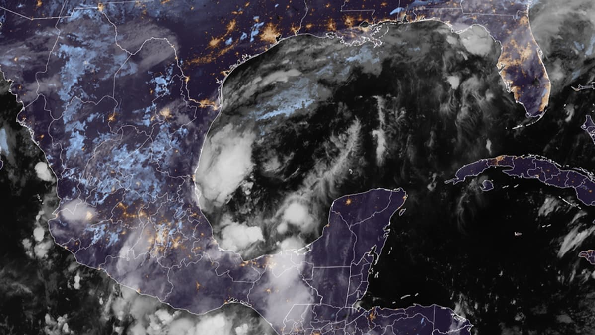
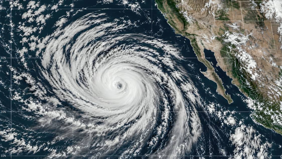
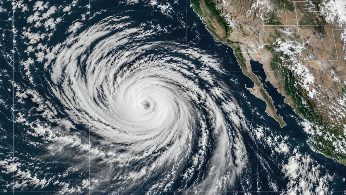
Hurricane Rachel is moving toward a potential encounter with Southern California, where residents could face heavy rain, strong winds, coastal flooding and dangerous surf during the weekend.
According to the latest National Hurricane Center forecast, Rachel is expected to turn toward the northeast as it is picked up by a large weather system moving across the Pacific. The storm is forecast to weaken as it moves toward northern Baja California and the southwestern United States.
Although Rachel is currently classified as a hurricane, forecasters do not expect it to retain hurricane strength when it approaches Southern California. The National Hurricane Center forecasts that the system will become a post tropical cyclone as it moves inland. However, the agency warns that tropical storm force winds and heavy rainfall could still accompany the remaining circulation.
The latest forecast indicates that Rachel could approach extreme northern Baja California and Southern California with tropical storm strength over the weekend. Strong winds could affect coastal and inland areas, while moisture associated with the storm is expected to spread across parts of the southwestern United States.
San Diego is among the areas being closely monitored because of the storm's projected path. Orange County and parts of Los Angeles could also experience periods of heavy rainfall, strong winds and hazardous coastal conditions.
The National Weather Service has warned of increasing rain chances across Southern California. Forecast information indicates that rainfall could continue from Sunday into Tuesday, with the greatest chances expected on Sunday and Monday. Some areas could receive between 0.50 and 2.00 inches of rain during the overall weather event, with higher totals possible in mountainous areas.
The rainfall could create flash flooding and urban flooding problems, particularly in areas with poor drainage or locations that receive intense rainfall over a short period. The National Hurricane Center has specifically warned that moisture from Rachel could increase rainfall coverage across northern Baja California and the southwestern United States.
Parts of Nevada and Arizona could also experience the effects of the storm's moisture. Forecast information indicates that rainfall and thunderstorms could extend farther inland as Rachel weakens and its moisture interacts with other weather systems.
Las Vegas and Phoenix are among the inland areas that could see an increased risk of heavy rainfall and flash flooding. The exact amount of rain will depend on the final track and how quickly Rachel weakens.
Coastal conditions are another major concern. Rachel is generating swells that are expected to affect Southern California and northern Baja California. The National Hurricane Center has warned that these swells could produce life threatening surf and dangerous rip currents.
The National Weather Service has also issued coastal-related warnings for portions of Orange County and San Diego County. It has warned of elevated surf, dangerous swimming conditions, high tides and minor coastal flooding. Beach erosion could also become a concern as the storm-related swells and high tides continue.
Forecasters are paying particular attention to the storm's intensity because Rachel is expected to encounter increasingly unfavorable conditions. Cooler ocean temperatures and dry air are expected to weaken the storm. Stronger wind shear could further disrupt its circulation as it moves closer to land.
The National Hurricane Center said there remains considerable uncertainty about the exact location where the storm will reach land. Forecast models continue to show differences in the speed and angle of Rachel's northeastward turn. Because of this uncertainty, the area of potential impacts could change as new forecasts are issued.
The storm is therefore not expected to make landfall in Southern California as a traditional hurricane. Instead, its remaining tropical moisture and circulation could bring tropical storm-like hazards even after Rachel loses its hurricane classification.
This distinction is important because the end of hurricane status does not necessarily mean the end of dangerous weather. A post tropical system can still contain substantial moisture and generate strong winds, heavy rainfall, high waves and flooding.
Residents along the Southern California coast are being urged to monitor updated forecasts, particularly those living near beaches, low lying coastal areas and locations vulnerable to flooding. People planning beach activities should also pay attention to warnings about rip currents and dangerous surf.
The National Weather Service has reported that coastal winds could strengthen from Sunday into Monday. In some mountain and desert areas, stronger gusts are possible. Forecast information indicates that winds could reach 35 to 45 miles per hour in some mountain and desert locations, with higher gusts possible in parts of the northern Coachella Valley.
Southern California has previously experienced significant rainfall and flooding from tropical systems even when those systems did not make a direct hurricane landfall. This makes Rachel's expected arrival an important weather event despite its forecast weakening.
The situation remains dynamic, and the storm's final track could determine which areas experience the strongest rainfall and winds. A small change in the path could shift the heaviest rainfall from coastal communities toward inland areas.
For San Diego, Orange County and Los Angeles, the primary concerns are expected to be heavy rain, flash flooding, strong winds, dangerous surf and rip currents. Inland communities could also experience rainfall and gusty winds as the system moves northeast.
Nevada and Arizona are likely to see impacts mainly through moisture spreading inland. Areas around Las Vegas and Phoenix could experience showers and thunderstorms, while localized heavy rainfall could create temporary flooding problems.
The National Hurricane Center's current forecast indicates that Rachel will continue weakening and could become post tropical as it moves inland. The system is eventually expected to dissipate after crossing into the southwestern United States.
For now, residents should not interpret the weakening forecast as meaning there is no danger. Weather hazards can remain significant even after a tropical cyclone loses its official hurricane classification.
Authorities and weather agencies are expected to continue updating the forecast as Rachel approaches. Residents in affected areas should rely on official weather alerts and local emergency information for the latest guidance.