
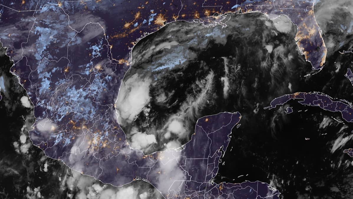
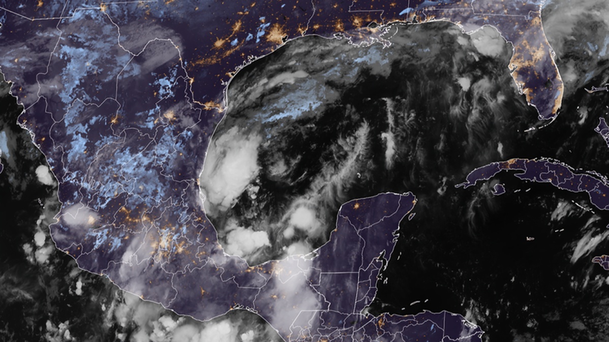
Tropical Depression Nine has formed over the Gulf of Mexico and is expected to strengthen significantly as it moves toward the northern Gulf Coast. Forecasters say the system could become Tropical Storm Isaias and may intensify further into a hurricane later this week.
According to the National Hurricane Center, Tropical Depression Nine was located over the southwestern Gulf of Mexico on Tuesday. At the time of the initial advisory, the system had maximum sustained winds of about 35 miles per hour and was moving slowly eastward. The depression was positioned approximately 380 miles west of Progreso, Mexico, and about 630 miles southwest of the mouth of the Mississippi River.
Forecasters expect the system to move generally eastward or east northeast during the next couple of days before turning toward the northeast. The National Hurricane Center forecast indicates that the depression could pass north of the Yucatan Peninsula and then accelerate toward the northern Gulf Coast on Friday and into early Saturday.
The system is expected to strengthen rapidly because environmental conditions are currently favourable for tropical development. Warm Gulf waters, moisture in the atmosphere and upper level conditions are supporting further intensification. However, increasing vertical wind shear later in the week could weaken the storm as it approaches the coast.
The National Hurricane Center expects Tropical Depression Nine to become a tropical storm by early Wednesday. If it reaches tropical storm strength, it will receive the name Isaias. Forecasters then expect the system to potentially become a hurricane on Thursday. Current projections indicate that the storm could reach hurricane strength while still over the Gulf of Mexico.
If the forecast develops as expected, Isaias would become the first hurricane of the 2026 Atlantic hurricane season. The season has been unusually quiet so far, with no hurricane forming before October. The potential development of Isaias would therefore represent a significant change in the Atlantic weather pattern.
The storm is expected to approach the northern Gulf Coast toward the end of the week. The exact location and timing of landfall remain uncertain because the system still has several days of movement before reaching the coast. Forecast models can change as additional information becomes available.
The National Hurricane Center has warned of an increasing risk of dangerous winds and storm surge along portions of the northern Gulf Coast. Residents from Louisiana to the Florida Panhandle have been advised to closely monitor forecast updates and make sure their hurricane preparedness plans are ready.
Heavy rainfall is another major concern. The depression is expected to bring periods of heavy rain to parts of the central United States Gulf Coast from Friday into the weekend. Forecasters say flash flooding, urban flooding and isolated river flooding could occur, particularly in areas that receive prolonged or intense rainfall.
The western Yucatan Peninsula in Mexico could also experience impacts before the system reaches the United States. The National Hurricane Center expects the depression to strengthen while moving near the region and warned of possible gusty winds and heavy rain.
The potential storm surge threat is also being closely monitored along the northern Gulf Coast. Storm surge occurs when strong winds push seawater toward the coast, potentially causing dangerous coastal flooding. The amount of surge will depend on the storm's final strength, size, angle of approach and exact landfall location.
Wind impacts could extend beyond the centre of the storm as it grows larger while approaching the coast. The National Hurricane Center has specifically advised people not to focus only on the forecast centre line because uncertainty remains regarding the system's final track and size.
Weather models currently suggest that the storm could reach significant hurricane strength over the Gulf before making landfall. However, the exact intensity remains uncertain. Changes in wind shear, atmospheric moisture and the storm's interaction with surrounding weather systems could affect how strong it becomes.
The latest forecast also indicates that the storm could weaken after moving inland. The National Hurricane Center projects that the system will lose tropical characteristics as it travels farther into the central United States.
The storm is also being closely watched because of its possible effects on the energy sector. The northern Gulf of Mexico contains major offshore oil and natural gas production facilities, while the Gulf Coast has several large refineries and energy infrastructure. A strong tropical system could force temporary shutdowns or other operational changes if facilities fall within the storm's impact area.
Reuters reported that the approaching storm has already contributed to concerns in global oil markets because Gulf offshore areas account for a significant share of US crude oil and natural gas production. Traders are watching whether the storm could disrupt production, transportation or refining activity.
Despite the increasing threat, authorities have not yet determined the exact location of landfall or the final strength of the storm. Residents in potentially affected areas should therefore rely on updates from the National Hurricane Center and local emergency management authorities rather than older forecast maps circulating online.
The National Hurricane Center currently has no coastal watches or warnings in effect in its initial advisory, but officials said interests in the Yucatan Peninsula and the northern Gulf Coast should closely monitor the system. Watches could be required as the storm moves closer to land.
Residents along the Gulf Coast are being encouraged to review their emergency plans, check evacuation information and prepare essential supplies if necessary. People living in flood prone areas should also remain aware of local warnings because heavy rainfall can produce dangerous flooding even away from the storm's centre.
The situation is expected to change rapidly over the next several days. Additional reconnaissance flights and weather observations will help forecasters better determine the storm's structure, intensity and expected track.
For now, Tropical Depression Nine remains a developing system over the Gulf of Mexico. Its projected strengthening into Tropical Storm Isaias and possible transition into a hurricane could bring significant weather risks to parts of Mexico and the northern Gulf Coast.
Residents from Louisiana through the Florida Panhandle should continue monitoring official forecasts as the system approaches. The most important threats could include hurricane force winds, storm surge, heavy rainfall and flooding, depending on the storm's eventual track and strength.